
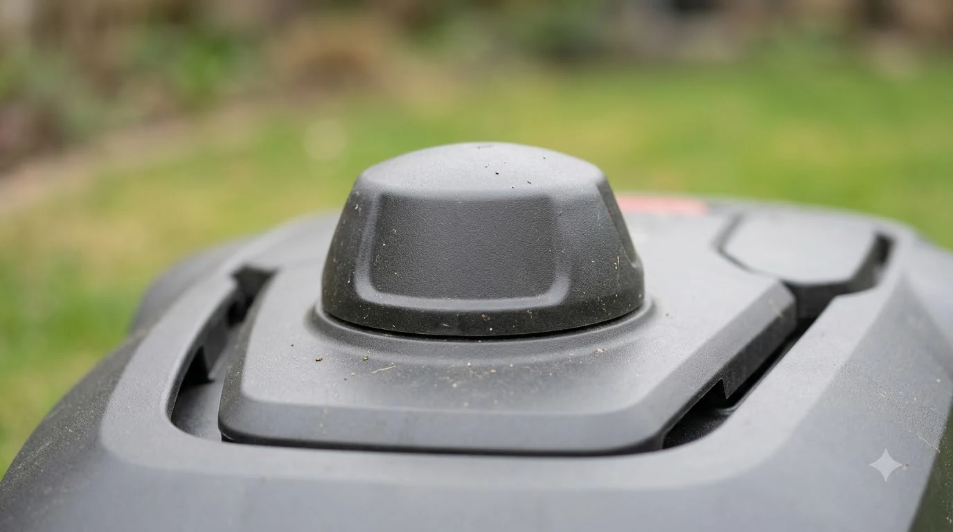

There is no single best satellite navigation robot lawn mower 2026 for every yard. Satellite navigation uses high-precision RTK-GNSS signals to locate the mower and to draw virtual boundaries in an app, and it works best when the sky above the lawn is open. As of 2026-11-12, the manufacturer pages we read describe the same basic method, so the real choice depends on your site. This guide explains how the system works, what weakens it and what to check before you buy.
The short answer
- Satellites do the locating. Husqvarna says its satellite system uses RTK-GNSS signals to create virtual boundaries through the Automower Connect app.
- Open sky matters most. GPS.gov says smartphones are typically accurate within 4.9 m (16 ft) radius under open sky, and that accuracy worsens near buildings, bridges and trees.
- Plan for weak spots. Husqvarna says accuracy of virtual boundaries may be compromised where satellite signal is weak, and it recommends a boundary wire island around virtual stay-out zones.
- Check the backup. Some models use a camera or a buried wire when the signal drops. Our reading is that the backup matters as much as the headline accuracy.
How satellite navigation works on a robot mower
A satellite-navigated robot mower reads signals from satellites and combines them with a correction source to know where it is on the lawn. Husqvarna describes this as high-precision satellite signals, RTK-GNSS, used to create virtual boundaries through its app. The boundary is drawn in software rather than by a buried wire, which is why setup is usually faster on a clear lawn. The mower needs a clear view of the sky to get a reliable fix. Our explainer on how an RTK robot mower works covers the correction signal in more detail.
Virtual boundaries are the main reason people choose this type. You walk or drive the edge in the app, and the mower follows the mapped line. Our reading is that this removes the wire-laying work, but it adds a dependency on signal quality. A boundary that looks clean on the map can still drift in a spot where the satellite fix is poor, so the app map is only as good as the signal under it.
Where satellite navigation works best
Open lawns give satellite navigation its best conditions, so any best satellite navigation robot lawn mower 2026 shortlist should start with your sky view. GPS.gov says GPS-enabled smartphones are typically accurate to within a 4.9 m (16 ft) radius under open sky, and that figure reflects consumer receivers, not robot-mower hardware. Husqvarna’s UK FAQ states that wire-free accuracy is typically within 5 cm and that wire-free mowers require an open sky view to receive the signals.
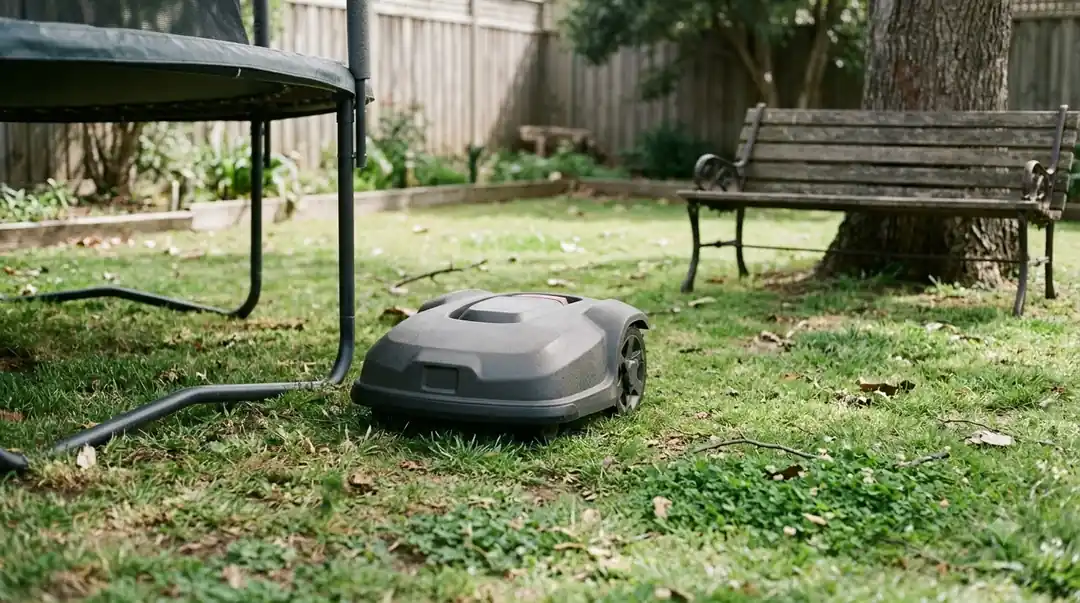
Open sky means a wide view of the sky from the charging station and from the RTK base station or reference point, not just a clear view over the middle of the lawn. Husqvarna’s EPOS guidance says the charging station docking point must be placed in an area with an unimpeded sky view. If that point sits under a roof overhang or beside a tall hedge, the mower may struggle to dock even when most of the lawn is well covered.
What weakens the satellite signal
Satellite navigation does not fail everywhere equally, so the best satellite navigation robot lawn mower 2026 for a wooded yard may not be the one that works best on an open lot. The usual weak points are tree cover, buildings and narrow passages between structures. These are the conditions that most often cause a mower to lose its fix or drift from the mapped line.
- Tree cover. GPS.gov notes that accuracy worsens near trees, and Eufy says tree cover and nearby buildings can weaken GPS and RTK satellite signals, and that tall neighboring buildings can degrade them severely.
- Buildings and walls. Walls and roof lines block part of the sky and can reflect signals, so a corner by the house may read differently from the middle of the yard.
- Narrow passages. Husqvarna’s UK FAQ says narrow passages under 4 m with tall hedges or walls can block satellite signals.
- Weak-coverage zones. Husqvarna’s EPOS support page says accuracy of virtual boundaries may be compromised in areas with weak satellite signal, and that the mower can lose accuracy in those zones.
Our reading is that a yard with several large trees is not automatically unsuitable, but the map needs careful checking. Walk the lawn at different times of day and watch where the mower slows, hesitates or stops, because those spots show where the signal is weakest. If trees are the main worry, see our guide to a robot mower that works under trees without RTK.
How makers back up satellite navigation
Checking the backup is part of choosing the best satellite navigation robot lawn mower 2026, because the backup decides what happens when the signal drops. Husqvarna describes its camera as back-up navigation for areas with weak satellite signal. The camera works together with EPOS satellite navigation rather than replacing it, according to the company’s AI vision support page. Our explainer on how vision robot mowers work covers the camera side.
The company’s page describes the signal-lost sequence in three steps:
- Keep mowing for a limited distance. If the mower can see grass, it continues for a limited distance. The page does not give a specific distance.
- Search for grass. If it detects no grass, it rotates to search for grass before going on.
- Stop and search for satellites. If it finds no grass in any direction, it stops and searches for a satellite signal again.

Husqvarna’s how-it-works page also says a physical boundary wire can be buried in areas with poor satellite coverage so the mower can still operate there. For zones where the signal is weak, the company recommends a boundary wire island around the virtual stay-out zone. The page adds that the wire island alone does not stop the mower from entering the zone, so a stay-out zone is still needed in the app. Our comparison of wire-free and boundary wire robot mowers sets out that trade-off.
Consumer NZ makes a similar point from the buyer side. Its guide says wireless models need good satellite coverage, and that a wire suits sites with poor reception. Our reading is that a hybrid model with a wire at the weakest edges can be a practical compromise on a wooded lot, even though it brings back some installation work.
How to choose the best satellite navigation robot lawn mower 2026
Choose by site first, then by model. The table below lists the checks that matter most, using only the sources above. Each row names the thing to look at and the reason it matters for satellite navigation.
| Check | Why it matters | What to look for |
|---|---|---|
| Sky view at the charging station | Husqvarna says the docking point needs an unimpeded sky view | A spot with no roof overhang or tall hedge |
| Tree cover | GPS.gov says accuracy worsens near trees | Walk the lawn and note shaded or canopy areas |
| Narrow passages | Husqvarna UK says passages under 4 m with tall hedges or walls can block signal | Measure gaps between walls, sheds and hedges |
| Backup method | Signal loss handling differs by brand | Camera backup, buried wire fallback or both, as stated by the maker |
| Boundary wire needs | Husqvarna recommends a wire island around virtual stay-out zones | Whether the model supports a wire island and where you would place it |
| Mapping and setup | Install effort depends on lawn size and complexity | Mapping steps in the app manual, not a fixed time |
Use the maker’s own manual for the exact specifications of any model you consider. Brand claims about accuracy and coverage are useful starting points, but check them against your measured area and your sky view before you buy.
Who each setup suits
Our reading is that a clear, open lawn with a wide sky view suits pure satellite navigation with virtual boundaries, which is the simplest case for the best satellite navigation robot lawn mower 2026. A wooded or narrow yard suits a model with camera backup, a wire fallback or both, because the satellite signal is the most likely point of failure there. A small walled garden may be better served by a different navigation type, since walls can block the sky.
Frequently asked questions
Do robot mowers use satellites to find their position?
Some do. Husqvarna says its satellite system uses high-precision RTK-GNSS signals to create virtual boundaries through its app. Other makers use different navigation methods, so check the model’s specification before you assume satellite positioning.
Does a tree stop a satellite robot mower?
A tree does not stop it outright, but GPS.gov says accuracy worsens near trees. Eufy also says tree cover and nearby buildings can weaken GPS and RTK signals. Walk the lawn and watch for areas where the mower slows or hesitates, and ask how each candidate for the best satellite navigation robot lawn mower 2026 handles those spots.
Do I still need a boundary wire with a satellite model?
It depends on the site. Husqvarna recommends a boundary wire island around virtual stay-out zones and says a physical wire can be buried in areas with poor satellite coverage. Check whether your chosen model supports this setup.
What happens when the satellite signal drops?
On a Husqvarna Automower with camera backup, the mower keeps mowing a limited distance if it sees grass. If it finds no grass in any direction, it stops and searches for a satellite signal, according to the company’s AI vision page.
Sources
- GPS Accuracy (GPS.gov, U.S. government): 4.9 m open-sky figure and the note that accuracy worsens near buildings, bridges and trees.
- EPOS support (Husqvarna, manufacturer): weak-signal accuracy, docking sky view and the wire island recommendation.
- How Automower AI vision technology works (Husqvarna, manufacturer): camera backup and the signal-lost sequence.
- How the Automower works (Husqvarna, manufacturer): RTK-GNSS virtual boundaries and the buried wire fallback.
- Robotic mower FAQ (Husqvarna UK, manufacturer): 5 cm wire-free accuracy and the 4 m narrow passage note.
- Wired vs wire-free robot lawn mower (Eufy, manufacturer): tree cover and nearby buildings can weaken GPS and RTK signals.
- Robot lawn mowers guide (Consumer NZ, consumer organisation): wireless models need good satellite coverage.
 Up next7 min readBest Robot MowersWhich Satellite Navigation Robot Mower Is the Most Accurate?Updated Nov 13, 2026
 9 min readBest Robot MowersBest Robot Lawn Mower for Pennsylvania Lawns: What to Check Before You BuyUpdated Nov 14, 2026
 8 min readBest Robot MowersBest Robot Lawn Mower for Virginia Lawns: What to Check Before You BuyUpdated Nov 14, 2026
 10 min readBest Robot MowersBest Robot Lawn Mower Under $1000: What to Check Before You BuyUpdated Nov 12, 2026
 7 min readBest Robot MowersBest Robot Lawn Mower Under $3000: What to Check Before You BuyUpdated Nov 14, 2026
 9 min readBest Robot MowersBest Robot Lawn Mower Under $700: What to Check Before You BuyUpdated Nov 12, 2026