

What is EFLS on Segway Navimow? EFLS stands for Exact Fusion Location System, the positioning system Segway uses so its robot mowers can follow a virtual boundary instead of a buried perimeter wire. It combines satellite positioning with motion sensors and, on newer models, cameras. As of November 2026, the version name depends on the model, so check the manual for the mower you are considering.
The short answer
- What it is: Segway’s positioning system, which fuses several inputs so the mower can work inside a boundary drawn in the app.
- Satellites: the mower needs signals from at least four satellites for a position, and at least ten shared with the reference antenna for centimeter-level accuracy.
- When signal drops: Segway says the mower keeps working for a while on its gyroscope, accelerometer, magnetic compass and wheel counter.
- Versions: the Navimow X3 manual describes EFLS 3.0 with cameras and dual RTK antennas. Other models carry older labels, so confirm on the model’s own page.
What is EFLS on Segway Navimow? How the system fits together
EFLS is the positioning layer of a Navimow system, and the system has four physical or digital parts. The X3 manual lists the mower, a charging station, a GNSS antenna and the Navimow app. The mower and the antenna both receive satellite signals to pinpoint the mower and define the work area, while the charging station recharges the battery.
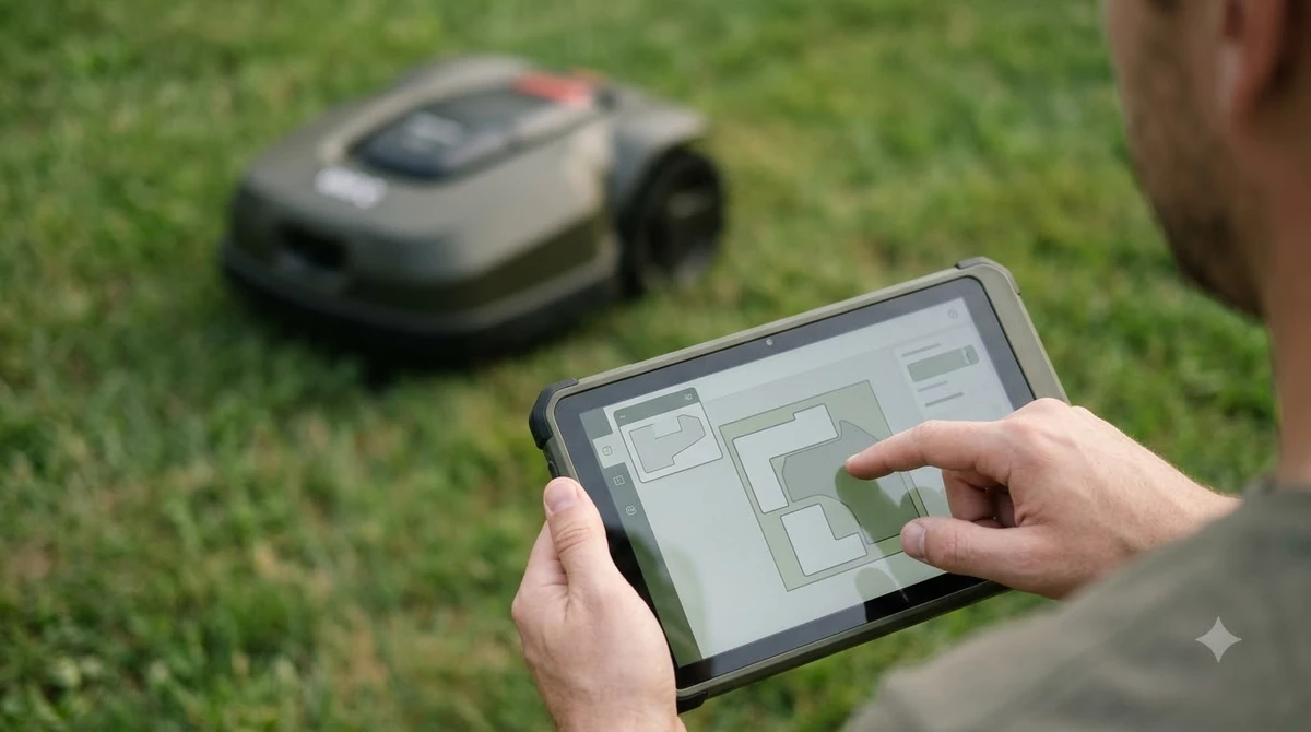
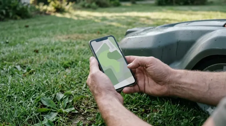
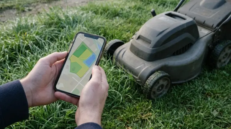
The app is where the boundary lives. You draw the work area on a map, and the mower then calculates mowing paths that fit the shape of that area. Segway describes EFLS as the technology that replaces boundary wires with virtual mapping, which is the main practical change for owners who would otherwise bury wire along the lawn edge. Our explainer on how robot mowers work without a wire covers the basics.
Our reading: a wire-free boundary removes the trenching step, but it does not remove the need for a clear view of the sky. The rest of this article explains why that view matters.
How the satellite part works
Satellite positioning needs at least four satellites in view at the same moment, and centimeter accuracy needs at least ten. Segway’s EFLS technical document explains that a receiver must pick up signals from four satellites to calculate its position, including altitude and clock error. So what is EFLS on Segway Navimow doing with them? It uses the satellites to place the mower and the reference antenna to correct that position.
Segway’s document describes four satellite systems: GPS from the USA, BeiDou from China, GLONASS from Russia and Galileo from the EU. The document’s table lists 31 GPS, 35 BeiDou, 24 GLONASS and 24 Galileo satellites in orbit, and it says the combined constellation keeps at least four satellites available even when the view is not fully clear. Being in orbit does not mean being visible from your yard, though. Trees, roofs and walls can block part of the sky from any one spot.
The reference antenna, which does the job of an RTK base station, adds the correction step. Segway says the same satellite signals reach the antenna as correction signals, which improves the mower’s position to centimeter level. The antenna sends that data to the charging station, and the charging station passes it to the mower by radio.
Why the reference antenna placement matters
The reference antenna should sit at the highest point with the widest view of the sky, because the mower can only use the satellites it shares with that antenna. Segway’s example shows an antenna on a roof with an unrestricted view of about 160 degrees.
Segway also gives a counter-example. An antenna on the west side of a house can only see satellites on that side, while a mower working on the east side sees a different set. In that case the two do not share ten satellites, and accurate navigation on the east lawn is not possible. The same setup works when the mower is working on the same side as the antenna. Trees can shade part of the sky in the same way, as covered in this guide on where to place an RTK antenna in a yard with trees.
When you plan the install, check these points against the source:
- Find the highest clear spot. Segway recommends the highest point, such as a roof, with the greatest all-round view.
- Look at the whole lawn. If the lawn sits on one side only, the antenna must still see the same sky as the mower’s working area.
- Skip direct line of sight. The antenna, charging station and mower do not need direct visual contact with each other.
What the mower does when satellites drop out
When satellite signal is lost, the mower keeps going for a while using its own sensors. Segway says the system evaluates gyroscope, accelerometer, magnetic compass and wheel counter data in real time, so the mower can continue its work temporarily without a satellite fix.
The source does not give a time limit for that fallback, so this is a scope boundary rather than a promise. Our reading is that short gaps, such as passing under a tree line, are the case the fallback is built for. Long outages would depend on the model and the situation, and the X3 manual does not state a duration. The X3 display also shows a status icon that combines battery level with poor GPS signal, so you can see the problem without reading the app.
What the cameras and the ToF sensor add
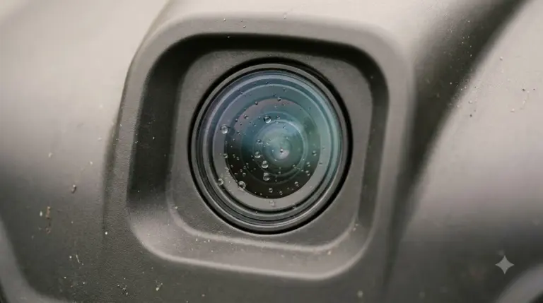
On the Navimow X3 series, EFLS 3.0 adds camera mapping to the satellite data. The manual says left and right camera VSLAM are added to the existing monocular VSLAM, which widens the field of view to 300 degrees. It also pairs VSLAM with visual-inertial odometry and dual RTK antennas, and the mower carries a GNSS antenna inside the body as well.
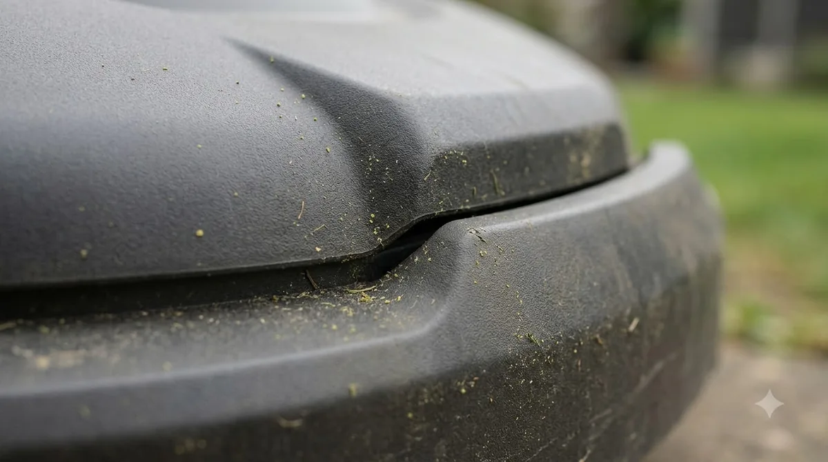
The X3 mower also has a 3D time-of-flight (ToF) sensor, which the manual says is used for obstacle avoidance and mowing along edges. The manual states that the ToF sensor works under all kinds of lighting, unlike cameras that depend on ambient light. The bumper adds a physical contact layer on top of that, and the manual lists it among the mower’s parts.
| Feature | Navimow X3 series (EFLS 3.0) | Navimow i110N (EFLS 2.0 label) |
|---|---|---|
| Positioning | Dual RTK antennas with VSLAM and VIO | RTK plus vision, no perimeter wire |
| Cameras | Left, right and front cameras, 300 degree field of view | Not described in the sources read |
| Obstacle sensing | 3D ToF sensor plus collision sensors | Not described in the sources read |
| Listed area | 0.5 to 2.5 acres (US and Canada), per the manual | 0.25 acre, per one listing site |
The table compares the labels and listed specs in the sources we read, not overall quality. The two models are also aimed at different lawn sizes, so the comparison is only a starting point.
Limits and what to check before you buy
For a buyer asking what is EFLS on Segway Navimow before purchase, the answer is a positioning system, not a promise of accuracy. EFLS depends on satellite visibility at the installation site, so the practical limit is sky view and antenna placement rather than the system’s name. Segway’s wording is an accuracy claim, and we did not find independent test data that checks the centimeter figure in a real yard.
- Sky view: confirm the antenna can see the same satellites as the lawn, using the placement rules above.
- Accuracy claim: treat “centimeter-level” as the manufacturer’s figure, with no independent test in the sources we read.
- Naming: sources spell the system differently, and one Navimow page misspells it as ELFS. The manual’s name, Exact Fusion Location System, is the one to use.
- Version: compare models only after checking the EFLS version in each manual.
Our reading is that knowing what is EFLS on Segway Navimow matters less than three checks: the sky over your lawn, where the antenna can go, and which version the model’s manual describes.
Frequently asked questions
Does EFLS need a boundary wire?
No. Segway describes EFLS as the technology that replaces boundary wires with virtual mapping, so you draw the work area in the app. The mower still needs satellite signal for accurate navigation, so the yard’s sky view still matters.
How many satellites does EFLS need?
Segway’s technical document says a receiver needs signals from at least four satellites for a position. For centimeter-level accuracy, the mower and the reference antenna must both see at least ten of the same satellites at the same time.
Does the mower stop if GPS signal drops?
Not right away. Segway says the mower keeps working temporarily using gyroscope, accelerometer, magnetic compass and wheel counter data. The sources do not give a time limit, so check the manual for your model’s behavior.
Is EFLS the same on every Navimow mower?
No. What is EFLS on Segway Navimow depends partly on the model: the X3 manual describes EFLS 3.0 with cameras and dual RTK antennas, while a listing for the i110N names EFLS 2.0 with RTK and vision. Read the manual of the model you plan to buy before comparing features.
Sources
- Segway Navimow X3 Series user manual, 250527-B (Segway): EFLS definition and version 3.0 description, GNSS antenna, sensors, area range and the GPS status icon.
- Navimow EFLS technical document (Segway, copy hosted by a reseller): satellite counts, the ten-satellite rule, antenna placement, and the sensor fallback.
- SmartHomeCompared, Segway Navimow i110N (independent listing): EFLS 2.0 label and the 0.25 acre listed area, as of November 2026.
 Up next8 min readLearnSegway Navimow Positioning Lost? What It Means and 6 Simple Fixes to TryUpdated Nov 10, 2026
 7 min readLearnHow Long Does the Segway Navimow i110N Battery LastUpdated Nov 11, 2026
 7 min readLearnHow to Update Segway Navimow i110n FirmwareUpdated Nov 11, 2026
 8 min readLearnSegway Navimow Vision Fence Not Working: Causes and FixesUpdated Nov 11, 2026
 9 min readLearnHow to Set Up Segway Navimow i110N: Easy Step-by-Step GuideUpdated Nov 10, 2026
 6 min readLearnSegway Navimow Customer Service: How to Reach SupportUpdated Nov 13, 2026