
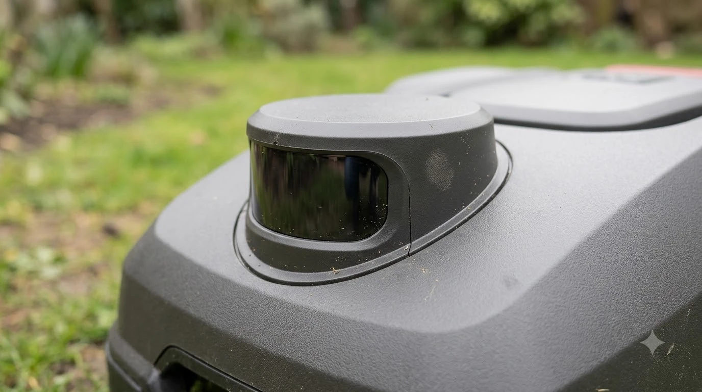

The most accurate robot lawn mower navigation is usually RTK satellite positioning with a clear sky view, where vendors quote about 1 to 3 cm. Those figures are manufacturer statements measured under good conditions, not independent test results. Trees, tall walls and narrow gaps reduce satellite accuracy, so the right choice depends on what your yard looks like overhead and around its edges.
The short answer
- Open sky, RTK: the tightest published numbers. Sunseeker quotes 1 to 3 cm, and Husqvarna says a reference station is typically better than 2 cm.
- Under trees or near tall walls: satellite accuracy drops. Sources say trees can block, weaken or reflect satellite signals.
- LiDAR and camera vision: they do not depend on satellites. The pages we read give no comparable centimeter figure, so their limits are weather and mapping time.
- Our reading: judge accuracy by your own yard, starting with sky view and the base station site, not by the top number on a spec sheet.
What “accuracy” means on a robot mower
Robot mowers do not need pinpoint positioning to cut a lawn. What matters is whether the mower knows where it is well enough to stay inside the boundary, avoid objects and return to its dock. Accuracy figures describe how far the position estimate may be off, usually in the best case.
Husqvarna’s UK robotic mower FAQ describes wire-free positioning as typically within 5 cm for its app-based virtual boundaries, and better than 2 cm with its reference station. The same page gives around 2 to 3 cm for its RS1 station. These are vendor statements. The pages we read did not publish a test method, grass type or yard layout behind them, so treat them as the best case rather than a number you will see every day.
Heads up
Ecovacs describes its RTK navigation as centimeter-level and quotes its GOAT O1000 RTK at 0.8 to 1.2 inches. It also says RTK can lose precision near tall structures. A single maker’s claim is a starting point, not a comparison.
Most accurate robot lawn mower navigation: how the three systems compare
RTK has the strongest published figures in open sky. LiDAR and vision trade some of that precision for independence from satellites, and each has its own weak spot.
| Factor | RTK satellite | LiDAR | Camera vision |
|---|---|---|---|
| Published accuracy | 1 to 3 cm (Sunseeker claim); better than 2 cm with a reference station (Husqvarna) | No comparable cm figure in the pages we read; Sunseeker calls its precision good but possibly slightly less precise on large open edges | No cm figure in the pages we read |
| Needs clear sky | Yes (Husqvarna) | No | Not on its own; Husqvarna pairs it with satellite navigation |
| Under tree canopy | Degraded (Mowrator, Sunseeker) | Vendors say it performs reliably (Sunseeker, Ecovacs); not independently checked | Husqvarna says satellite plus AI vision can work in areas with weak satellite signals |
| Main weather or light limit | Signal blockage and multipath near structures | Fog, heavy rain or water on the sensor may scatter laser pulses (Anker, Ecovacs) | Not covered in the pages we read |
Our reading: if the only question is precision on an open, unobstructed lawn, RTK is the system with the best published numbers. If the yard is shaded or ringed by trees, the comparison changes, and the right test is how each system behaves in your conditions.
Why RTK accuracy drops in real yards
For the most accurate robot lawn mower navigation on satellite, most problems come from the sky view and the base station, not from the cutting hardware. Satellite positioning needs a clear view of the sky, so anything overhead can reduce how well the mower gets a fix.
Ecovacs says the base station needs an open, unobstructed area, and that incorrect setup reduces positioning precision. It also warns that obstructions can interfere with satellite connectivity and that accuracy may drop near tall structures. Mowrator describes trees as blocking, weakening and reflecting satellite signals, which causes multipath errors, and it lists base placement as one of the biggest factors in signal quality. See placing an RTK antenna near trees and why a robot mower needs a clear view of the sky for the layout side.
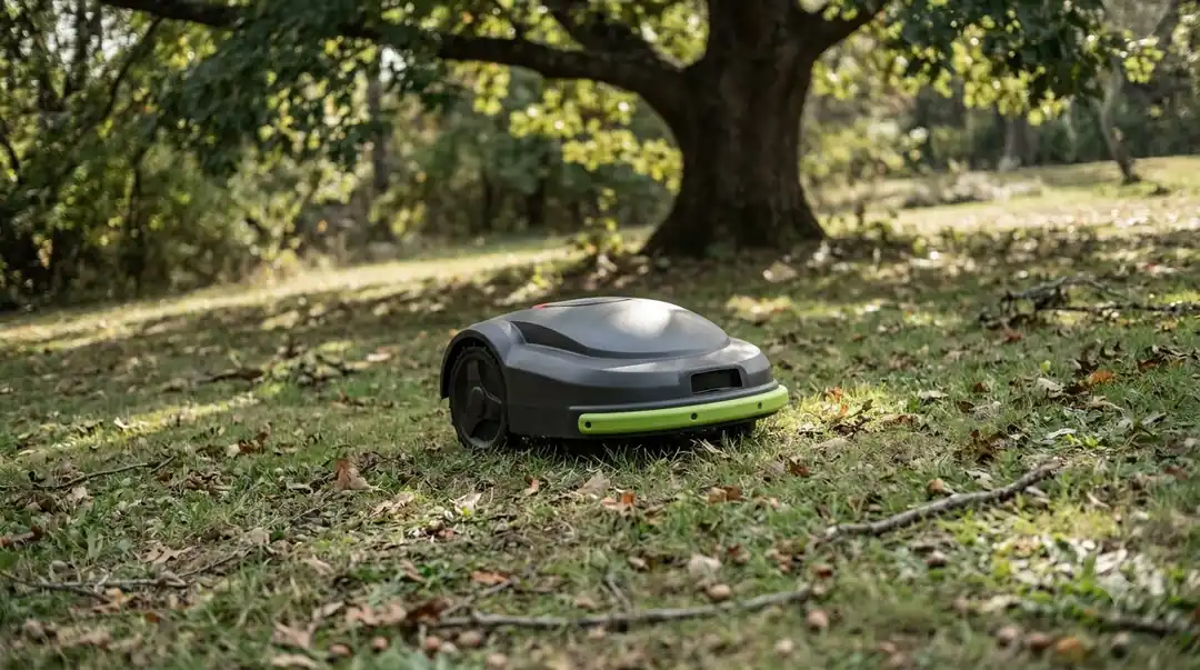
Husqvarna’s UK FAQ adds a specific layout case: passages narrower than 4 m, with tall hedges or walls on either side, can block satellite signals. Mammotion makes the same point from the base side, advising an open area free of major obstructions, because otherwise satellite signals may degrade and cause drift.
- Trees overhead: the canopy blocks or reflects signals, so fixes drop out.
- Tall walls or hedges: narrow passages can cut off the sky view.
- Base position: a base station placed near obstructions can weaken the whole system.
Our reading: a yard with one large tree and an open lawn may perform well on most of its area and drift near the trees and fences. Measure the worst edge, not the average.
Where LiDAR and vision fit
LiDAR and vision do not rely on satellites, so their limits are different. The question shifts from sky view to weather, light and how much the mower has to learn about a new yard.
A LiDAR mower uses a rotating laser to build a 3D picture of its surroundings. Sunseeker says LiDAR performs reliably under trees and in shaded areas, and Ecovacs says it is unaffected by shade or structures. Those are vendor claims, and we did not find an independent test. Anker notes that heavy fog, strong rain and water droplets on the sensor can scatter laser pulses and reduce how clearly the mower reads its surroundings. Sunseeker adds that in a large, open, featureless yard LiDAR can take longer to build its initial map. For the basics, see how a LiDAR robot mower works.
Camera vision helps a mower perceive its surroundings and dodge obstacles, as Mammotion describes it. Husqvarna says its newest camera models combine satellite navigation with AI vision so they can operate in areas with weak satellite signals. The pages we read gave no centimeter figure for vision alone. Our reading: vision helps most with what the mower sees, and less with exact boundary placement. See how camera vision navigation works for more.
Why many mowers combine sensors
Most current wireless mowers do not rely on one system. Mammotion describes its wire-free mowers as combining Network RTK, 3D LiDAR and AI vision, so each sensor covers the others’ weak spots. A satellite system handles open ground, while LiDAR or vision keeps the mower on track under trees and around obstacles.
The accuracy claim for a combined system is still a vendor claim. Ask which sensors are active in the mode you will use and what the figure was measured on. If you are weighing two systems, our guide to choosing between RTK and LiDAR walks through the trade-offs.
How to judge accuracy for your yard
Before you trust any figure for the most accurate robot lawn mower navigation, check the conditions it was measured in and compare them with your own lot.
- Map your sky view. Note trees, eaves, fences and tall walls around the lawn. Husqvarna says wire-free mowers need an open sky view.
- Pick the base station site first. Look for an open spot away from obstructions, as Ecovacs and Mammotion both advise.
- Measure the passages. Gaps under 4 m between hedges or walls can block satellite signals.
- Ask what was tested. Confirm the grass type, the mode and whether the figure is a lab claim or a field result.
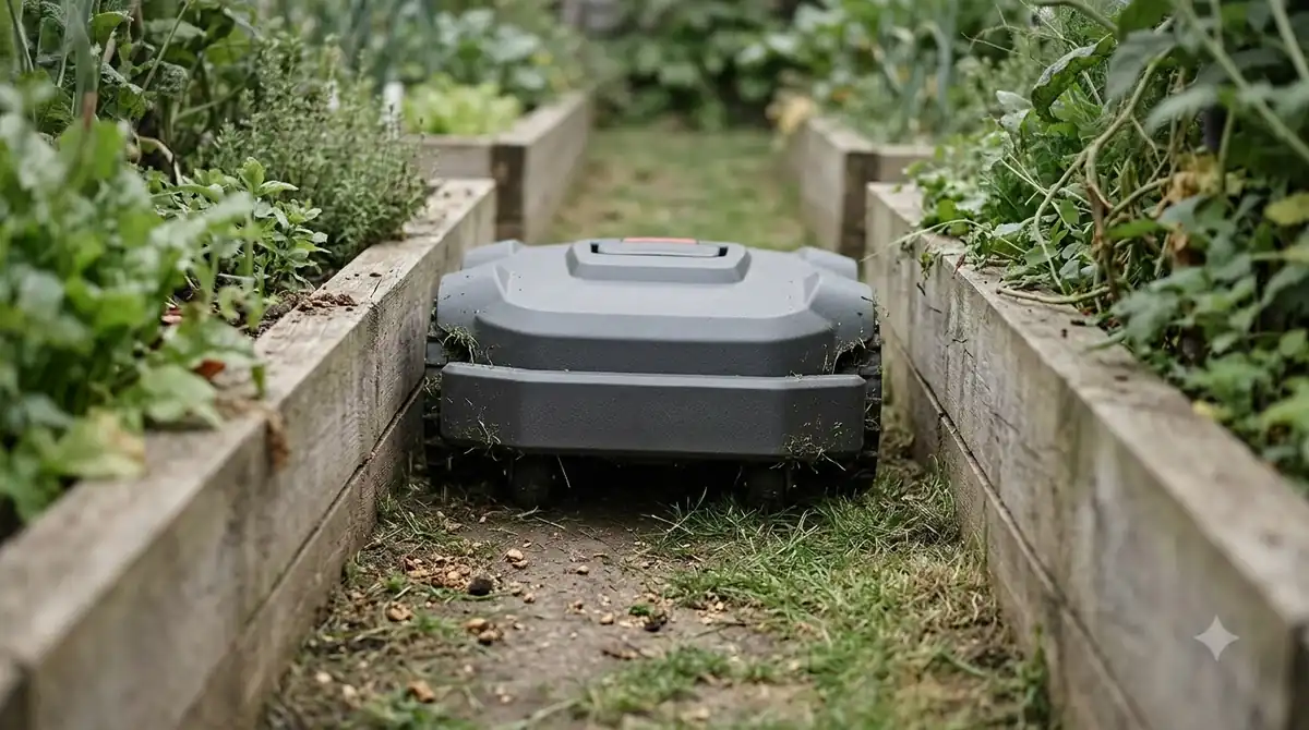
Our reading: after installation, watch the mower near edges, trees and the narrowest gaps for the first few weeks. Drift in those spots tells you more about the most accurate robot lawn mower navigation for your yard than the spec sheet does.
Frequently asked questions
Is RTK the most accurate robot lawn mower navigation?
On published figures in open sky, yes. Vendors quote RTK around 1 to 3 cm. Under trees, near tall walls or in narrow passages, the accuracy can drop, so the answer depends on your yard.
Does LiDAR work under trees?
Sunseeker and Ecovacs say LiDAR performs reliably under trees and in shade. Those are vendor claims, and the pages we read did not give a centimeter figure for it. Heavy fog or rain can still affect laser navigation.
Do I need a base station for accurate navigation?
Not always. Mammotion says its iNavi service offers NetRTK positioning on select models without a physical base station at home. Where you use your own base, its placement matters as much as the mower model.
Are vendor accuracy numbers reliable?
They are useful as the best case in good conditions. The pages we read did not publish their test methods, so compare them with each other only when the conditions are the same.
Sources
- Robotic mower FAQ (Husqvarna): wire-free accuracy figures, open sky view, passage width and satellite blocking.
- LiDAR vs RTK robot lawn mowers (Ecovacs): RTK centimeter-level claim, base station placement, obstructions and LiDAR weather limits.
- RTK vs LiDAR robot lawn mowers (Sunseeker): RTK 1 to 3 cm vendor claim and tree or building effects.
- RTK robot mower signal loss and trees (Mowrator): tree blocking, reflection, multipath and base placement.
- LiDAR robot lawn mower (Anker): fog, heavy rain and sensor water effects on laser accuracy.
- Boundary wires vs no-wire robot mowers (Mammotion): base station placement, drift, NetRTK and the combined-sensor description.
 Up next8 min readBest Robot MowersWhich Robot Mower Has the Best Navigation? It Depends on Your YardUpdated Nov 11, 2026
 8 min readBest Robot MowersRTK vs LiDAR vs Vision: Which Robot Mower Navigation Fits Your YardUpdated Nov 11, 2026
 8 min readBest Robot MowersMost Powerful Robot Lawn Mower: What the Specs Really MeasureUpdated Nov 11, 2026
 8 min readBest Robot MowersMost Popular Robot Lawn Mower in the US: What Sources Can ConfirmUpdated Nov 11, 2026
 8 min readBest Robot MowersWhich Wireless Robot Mower Is the Most Reliable? How to Judge ItUpdated Nov 11, 2026
 9 min readBest Robot MowersWhat Is the Best Robot Lawn Mower for a Large Yard?Updated Nov 11, 2026