
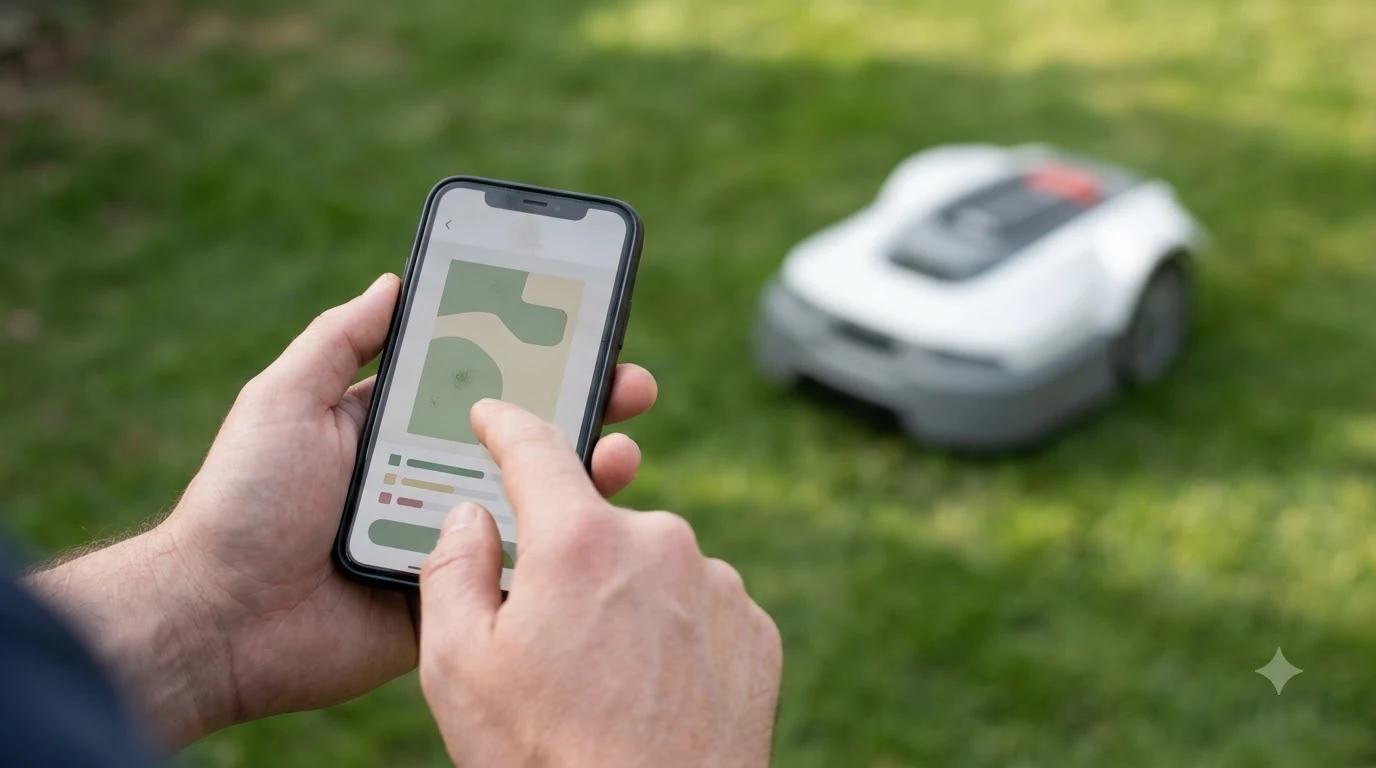

Which virtual boundary robot mower is the most accurate? Published figures put satellite-based virtual boundaries at about 1 to 6 cm, depending on the correction source. A virtual boundary mower has no buried wire. It draws the edge on a map from satellite positioning and follows that map, so its accuracy depends on the correction service, the sky view and the mapping itself. This guide uses Husqvarna’s published EPOS figures as the reference point, explains what can weaken them and lists what to check before you compare models.
The short answer
- Husqvarna’s published figures for virtual boundaries are typically 1 to 6 cm with its cloud option and 1 to 2 cm with its reference-station options.
- The correction source matters most. Reference stations are quoted tighter, but the cloud option needs cellular coverage and is not available everywhere.
- Narrow passages and tall obstacles can block the satellite signals a virtual boundary depends on.
- No independent ranking exists in the sources we read, so compare conditions, not headlines.
What a virtual boundary is and how it stays accurate
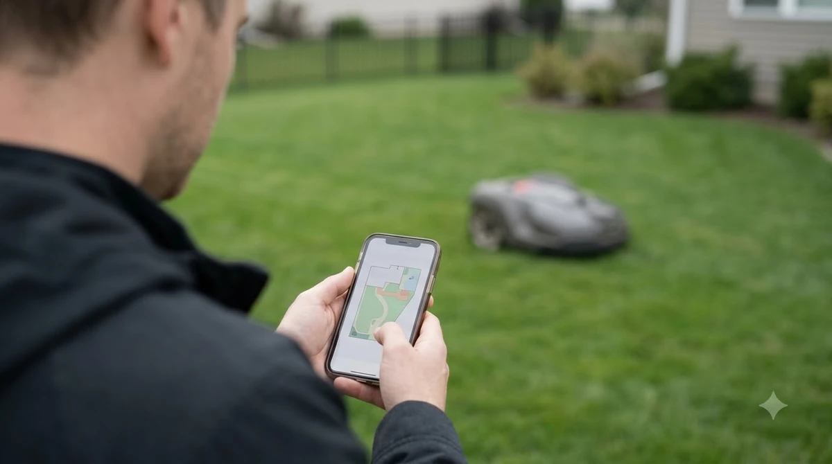
A virtual boundary replaces the buried wire with a drawn line. You drive the mower around the lawn once, the mower records the outline, and it keeps inside that outline using its positioning system. Husqvarna describes its EPOS system as using RTK GNSS to create virtual boundaries with centimeter-level accuracy, and the mower keeps those boundary lines safeguarded by the positioning it receives. A mapped boundary is one of several approaches, and the overview of navigation accuracy by system type shows how the others compare.
The key point is that a virtual boundary is only as good as the position fix behind it. Satellite positioning on its own is much less precise than RTK, so the mower needs a correction signal. That correction comes from either a reference station in your yard or a cloud service the manufacturer runs.
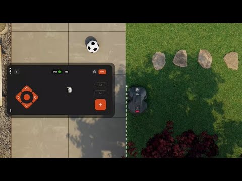
Which virtual boundary robot mower is the most accurate by published figure
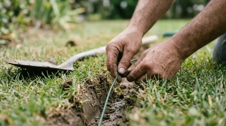
Husqvarna publishes separate numbers for its correction options, and those are the clearest figures we found from a single manufacturer. The table lists them as stated. We have not tested these mowers, and we did not find independent measurements that compare them with other brands. For a baseline that does not rely on signals, see wire-guided accuracy for contrast.
| Correction setup | Stated accuracy | Range or requirement |
|---|---|---|
| Husqvarna Cloud (no station of your own) | Typically 1 to 6 cm | Needs cellular coverage on the site; not available in every country or region |
| EPOS RS 4G reference station | Typically 1 to 2 cm | Range up to 25 km; needs cellular coverage on the site |
| EPOS RS5 reference station | Typically 1 to 2 cm | Range up to 500 m; coverage can be extended in repeater mode |
Two things stand out. The cloud option, which avoids a station in the yard, is quoted with a wider band. The reference stations are quoted tighter, but the RS5’s 500 m range means a large lawn or a site with a long gap between the station and the mower may need extra units. Read the range against the size of your lawn before you read the accuracy.
What can weaken a virtual boundary
Husqvarna’s FAQ states that positioning relies on at least two cooperating receivers, the mower plus either a reference station or the cloud. If the link between them weakens, the mower loses the precision the boundary depends on. The FAQ also warns that passages narrower than 4 m, with tall hedges or walls on either side, can block the satellite signals, and that severe weather that interferes with satellites can affect performance for a time. Signal quality drives how stable the line is, which is why satellite-corrected mower boundaries are worth reading about. Designs without a reference unit handle drift differently, as mapping with no base station explains. A scanning approach can reduce reliance on satellites, as 3D lidar boundary accuracy describes.
Heads up
Husqvarna’s EPOS page does not address trees, obstacles or base station placement in the content we read. Do not assume a tree canopy or a shed wall is harmless because a spec sheet shows a low figure. Test those spots directly.
Mapping the boundary well matters as much as the figure
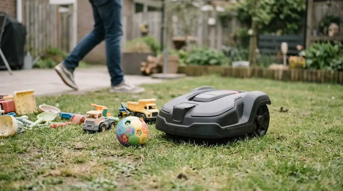
A virtual boundary mower follows the map you drew, so the mapping pass decides where the edge sits. Drive the outline slowly at the edges you care about most, such as beds, driveways and any drop. Our reading is that a boundary drawn too close to a bed can make the mower stop short or push into the edge on its next pass, so leave a small margin where the lawn ends. Boundary mapping matters as much as the figure, and mowing without an RTK antenna is a related approach for yards with poor sky view.
Some areas need a closer look. Husqvarna’s steep-slope page says that the outer edge of a slope can be too steep to use as a boundary, and advises placing it further in on flat ground. The same logic applies to a virtual boundary: map the edge on flat ground rather than running the line over the steepest part of the slope.
What to check before you buy a virtual boundary mower
- The correction source. Decide whether you want a station in the yard or a cloud service, and check what each one needs.
- Cellular coverage at the charging spot. The cloud option and some station options need a working data connection on site.
- Range against lawn size. Confirm that the reference station range covers the whole yard, including any detached areas.
- Sky view and passages. Walk the yard and note narrow gaps, tall hedges and tree canopies, since these can block satellite signals.
- What happens when the signal drops. Ask whether the mower stops, slows or keeps going, and whether it recovers without manual reset.
Frequently asked questions
Is a virtual boundary more accurate than a buried wire?
Husqvarna’s published figures for virtual boundaries are typically 1 to 6 cm, and wire systems have no equivalent figure in the sources we read. The two systems depend on different things, so the better choice depends on the yard rather than on one number.
Does a virtual boundary need a base station?
Not necessarily. Husqvarna offers a cloud option that avoids a station in the yard, but it needs cellular coverage and is not available everywhere. A reference station is the other route, and it has a range limit.
Why does my virtual boundary mower stop under trees?
Tree canopies and tall obstacles can weaken or block the satellite signals the mower uses. Husqvarna’s FAQ notes that narrow passages with tall hedges or walls can block those signals too. Expect pauses in shaded areas and test them.
Can I change the boundary after mapping it?
Virtual boundaries are usually edited in the app by driving or redrawing the outline. The exact options depend on the model and app version, so check the manufacturer’s current guidance before you buy.
Sources
- Husqvarna EPOS (manufacturer): virtual boundary description, stated accuracy for cloud and reference-station setups, range and cellular requirements.
- Husqvarna robotic mower FAQ (manufacturer): two-receiver positioning, narrow-passage and weather limits.
- Husqvarna steep-slope installation support (manufacturer, dated 11/02/2026): outer slope edge placement advice.
 Up next7 min readBest Robot MowersWhich Boundary Wire Robot Mower Is the Most Accurate?Updated Nov 13, 2026
 8 min readBest Robot MowersBest Virtual Boundary Robot Lawn Mower 2026: What to Check Before You BuyUpdated Nov 14, 2026
 6 min readBest Robot MowersWhich RTK GPS Robot Mower Is the Most Accurate? What MattersUpdated Nov 18, 2026
 6 min readBest Robot MowersWhich RTK and Vision Robot Mower Is the Most Accurate?Updated Nov 13, 2026
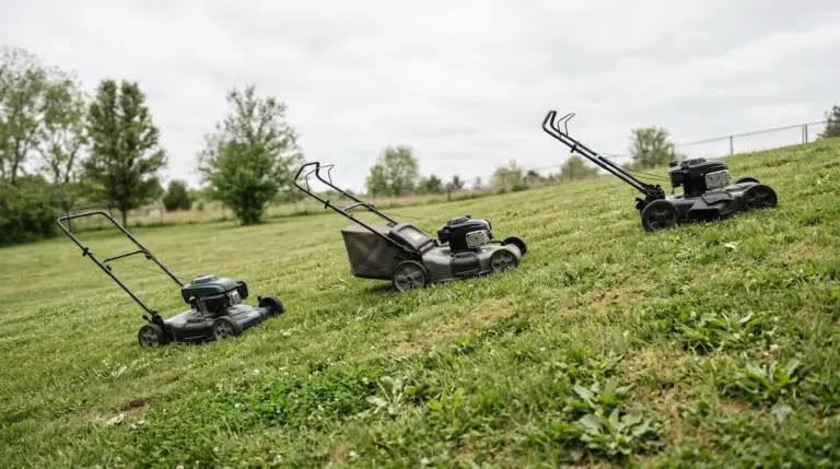 7 min readBest Robot MowersWhich AWD Robot Mower Is the Most Accurate? Traction FactsUpdated Nov 18, 2026
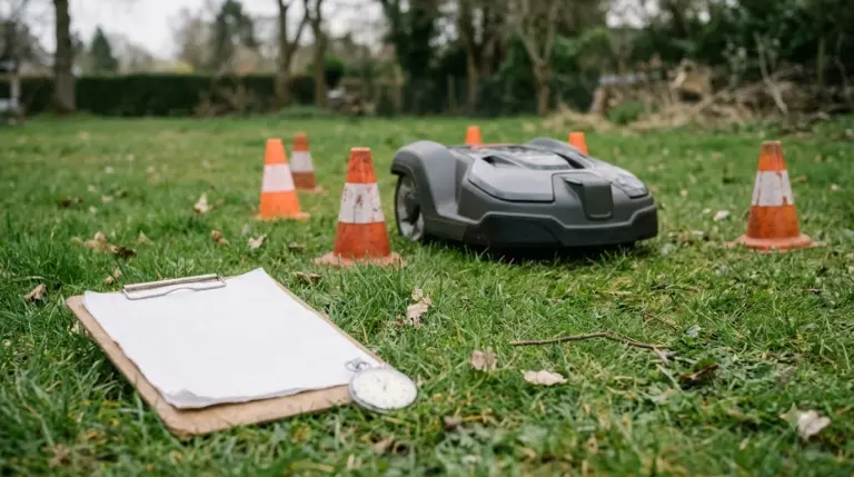 7 min readBest Robot MowersWhich No Base Station Robot Mower Is the Most Accurate?Updated Nov 18, 2026