
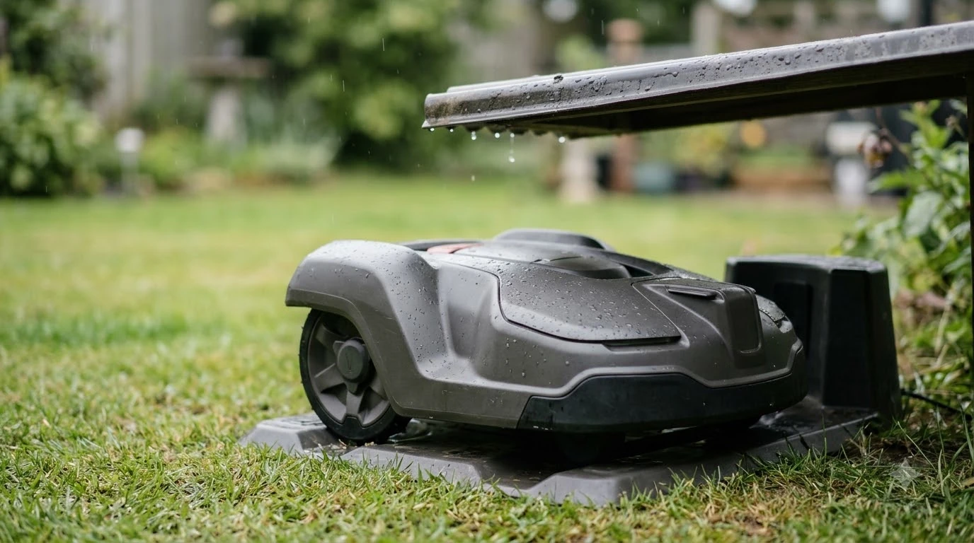

How do robot mowers know where to go? Most use one of two methods: a boundary wire that the mower detects, or a satellite positioning map drawn in an app. Bump, lift and tilt sensors then handle objects and safety inside that area.
The question how do robot mowers know where to go has two practical answers, and the method you choose changes the setup work and the places where the mower can lose its way. Manufacturers publish the limits of each method, so the rest of this guide explains both with those limits included.
The short answer
- Boundary wire: a low-voltage loop around the lawn, powered by the charging station, that the mower detects as a weak magnetic field.
- RTK satellite positioning: corrected satellite signals that build a virtual boundary in an app, with no buried wire on wire-free models.
- Sensors: bump sensors react after contact, while lift and tilt sensors shut off the blades.
- Return to charger: a guide wire, the boundary wire, or onboard GPS, depending on the model.
- Main limit: satellite signals weaken under trees and near tall buildings, so a wire is often the fallback.
How do robot mowers know where to go with a boundary wire?
A boundary wire is a low-voltage cable placed or buried around the edge of the lawn and around any obstacles the mower should avoid, according to Husqvarna’s explanation of how its Automower works. For a wire mower, the answer is simpler than a map: it senses where the wire is and stays inside it. Wire is the oldest answer to how do robot mowers know where to go, and it still works on yards with heavy shade.
The charging station powers the wire, and that creates a very low magnetic field the mower can detect. Robomow says the wire can be buried up to about 7 cm deep and still be detected, and it describes the wire as a stop sign that keeps the mower from driving over the cable.
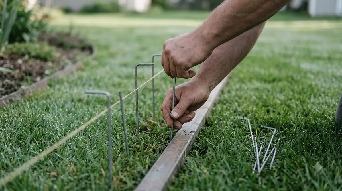
- The wire is a closed loop that starts and ends at the charging station.
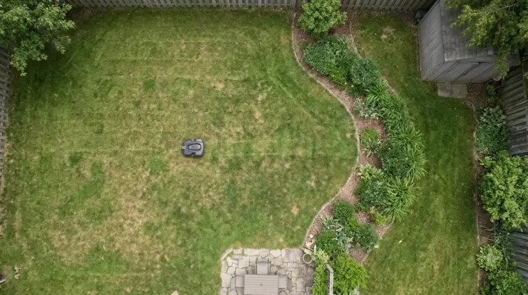
- The loop has to be laid around flower beds, trees and other obstacles, so the layout depends on the yard.
The boundary wire is the older method. Its main cost is installation time. Our reading is that it suits homeowners who accept laying and maintaining cable in exchange for a boundary that does not depend on satellites. Our explainer on what a boundary wire is on a robot mower goes deeper.
How does RTK satellite positioning replace the wire?
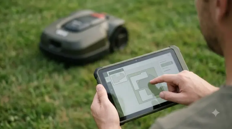
RTK-GNSS positioning is the wire-free answer to how do robot mowers know where to go. It uses satellite signals plus a correction stream, so the mower can place a virtual boundary in an app instead of following a buried cable. Husqvarna says its EPOS system “uses high-precision satellite signals (RTK-GNSS) to create virtual boundaries via the Automower Connect app.”
The correction comes from a reference station that receives satellite signals and calculates the difference between the satellite position and its own known position. The mower applies that correction. Our guide explains what an RTK base station is in more detail. Husqvarna’s EPOS FAQ says RTK GNSS needs at least two cooperating receivers: a reference station or Husqvarna Cloud, plus the mower.
| Option (Husqvarna EPOS) | Data link | Stated range | Stated accuracy |
|---|---|---|---|
| Cloud (no local station) | 4G cloud | Needs cellular coverage on the site | Typically 1 to 6 cm |
| RS 4G reference station | 4G cloud | Accuracy quoted within 10 km | Typically 1 to 2 cm |
| RS5 reference station | Short-distance radio | Up to 500 m, extendable with repeater units | Typically 1 to 2 cm |
These figures come from Husqvarna’s own EPOS page, so they describe the best case the vendor publishes. The same page does not say how the mower behaves when the satellite or correction signal drops, so ask that question before you buy.
Some models also use GPS for navigation. Husqvarna says “select Automower models use GPS to help navigate your lawn,” but it does not name them, so check the model’s spec sheet before you assume a given mower has this feature.
Why can satellite signals fail under trees and near buildings?
Satellite positioning depends on a clear view of the sky, so dense trees, tall buildings and shade can block or degrade the signal. That limit matters in shaded yards, not only on a spec sheet. Mammotion, a maker of wire-free mowers, says accuracy “drops under heavy canopy or close to tall buildings, so yard conditions matter,” and it presents these effects as its own claim rather than from independent tests.
- Canopy: dense branches can block satellite signals, which is why a shaded yard can give poor positioning.
- Nearby structures: tall buildings and sheds can reduce accuracy, according to the same vendor.
- Base placement: a reference station should have an open view of the sky, so keep it away from trees and structures that block that view.
Husqvarna’s own answer is a physical fallback: in areas with poor satellite coverage, a physical boundary wire can be installed and buried so the mower can work there. Our reading is that a yard with many large trees usually needs a wire section, while an open lawn can often run on satellites alone. If trees dominate your yard, see robot mowers that work under trees without RTK. Pick the setup that matches your yard, not the one with the most features, because the method should fit the lawn you actually have.
How do sensors keep the mower from hitting objects?
Sensors do not answer how do robot mowers know where to go. They handle objects inside the area, and they work the same way whichever method sets the boundary. The mower reacts to contact, lift and tilt, and some models add cameras or LiDAR to see obstacles before contact.
- Bump sensor: after contact, Husqvarna says the mower “will stop, reverse and go in another direction.”
- Lift and tilt sensors: when lifted, the blades “automatically and immediately shut off,” and Husqvarna says the blades also shut off if the mower is tipped over.
- Cameras or LiDAR: Mammotion lists onboard cameras, computer vision and LiDAR on selected models for obstacle detection. These are vendor claims, and the pages we read do not publish a detection range.
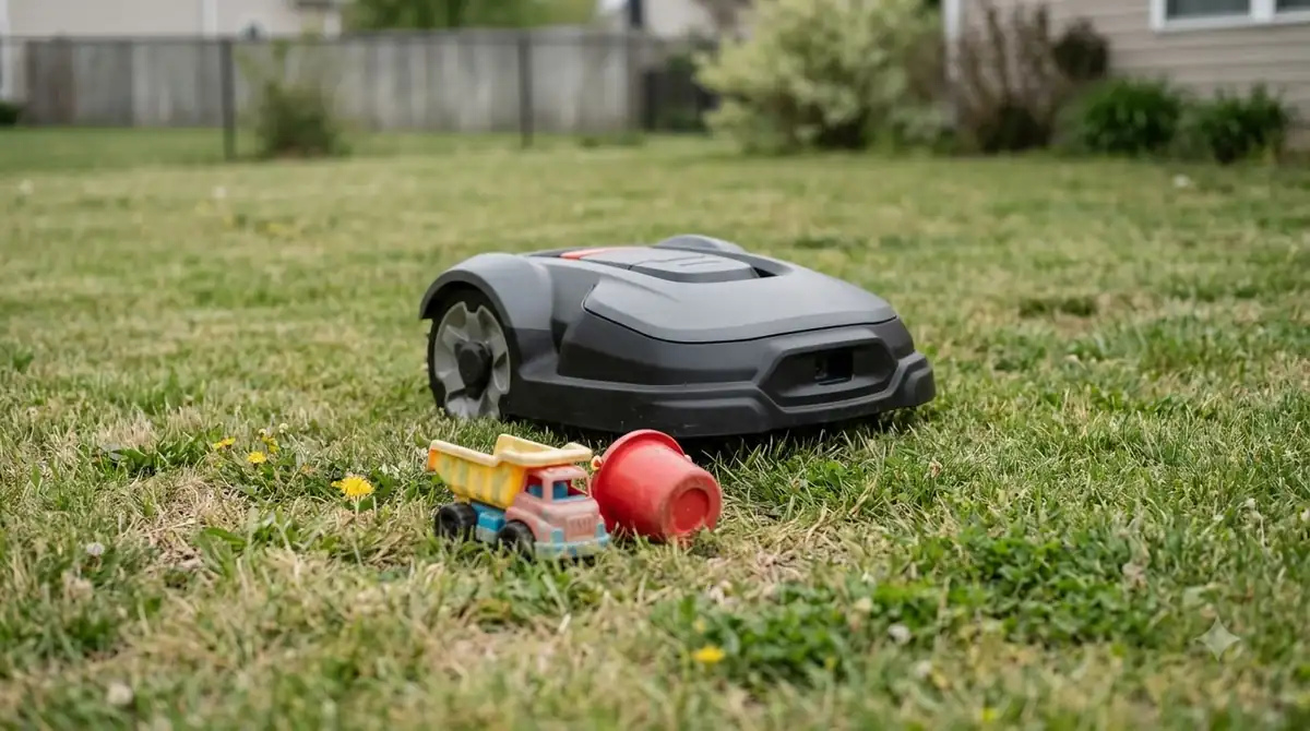
Sensors do not replace the boundary. A mower can still miss a low or flat object, so keep hoses, toys and loose cables out of the work area. For the navigation side, compare RTK, lidar and vision robot mowers.
How does the mower find its way back to the charger?
Husqvarna lists three ways its mower can return to the charging station: a patented guide wire, the boundary wire, or onboard GPS to find an efficient path. The guide wire helps the mower return to the charger, which matters when it is working in a remote corner of the lawn. The return trip is the last step of every cutting session, so it is worth checking in the manual.
Husqvarna says its guide wires help the mower move through spaces as narrow as 24 inches (60 cm). That matters for side gates and narrow passages, where a boundary wire alone may not give a clear route. Return behavior differs by model, so check the manual for the exact method your mower uses. Our guide to how robot mower docking works covers the return trip in more detail.
What to check before choosing a navigation type
Choose by yard layout and signal exposure rather than by feature list alone. These steps are our reading of the vendor facts above, and they are a starting point for choosing a method.
- Look at the sky. Open lawns suit satellite positioning. Heavy canopy or tall walls point to a wire or a hybrid setup.
- Check cellular coverage. Cloud-based correction needs cellular service on the site.
- Estimate the wire work. A wire needs trenching or pegs around every bed and obstacle. A satellite system needs a station or cloud link instead.
- Read the limits in the manual. Ask what the mower does when the signal is weak, not only how it works in good conditions. Confirm what the mower does when the signal drops and whether a wire fallback is supported.
Frequently asked questions
Do robot mowers need a buried boundary wire?
Not always. The answer to how do robot mowers know where to go depends on the model. Wire-free models use RTK satellite positioning and a virtual boundary in an app, but they need a clear sky view and a correction source. Husqvarna says a physical wire can be buried where satellite coverage is poor.
How accurate is a robot mower without a wire?
Husqvarna states typical accuracy of 1 to 2 cm for its RS 4G station and 1 to 6 cm for its cloud option. These are the vendor’s figures for good signal conditions, and the same page does not describe performance under canopy.
Can a robot mower work under trees?
It can, but satellite accuracy may drop under heavy canopy, according to Mammotion. For a shaded yard, a wire section or a hybrid setup is a common choice, and the manual should confirm what the mower does when the signal weakens.
How do robot mowers know where to go to get back to the dock?
Husqvarna lists three return methods: a guide wire, the boundary wire, or onboard GPS. The method depends on the model, so check the manual for the one your mower uses.
Sources
- Husqvarna Automower: how it works (manufacturer): boundary wire, EPOS virtual boundary, collision and lift sensors, guide wire, return methods.
- Husqvarna EPOS (manufacturer): reference station, two-receiver requirement, accuracy and range figures.
- Robomow: laying the boundary wire (manufacturer): wire signal, burial depth, stop-at-wire behavior.
- Mammotion: do robot lawn mowers need a boundary wire (manufacturer, vendor claims): canopy and building effects on satellite accuracy, obstacle sensing.
 Up next9 min readLearnWhat to Know Before Buying a Robot MowerUpdated Nov 11, 2026
 7 min readLearnDo Robot Lawn Mowers Need Lithium Batteries? What to KnowUpdated Nov 14, 2026
 8 min readLearnWhat Is a No-Go Zone on a Robot Mower?Updated Nov 11, 2026
 8 min readLearnHow to Set Up No-Go Zones on a Robot MowerUpdated Nov 11, 2026
 7 min readLearnLymow Mapping: Zones, No-Go Areas and ChannelsUpdated Nov 13, 2026
 7 min readLearnMammotion Mapping: Manual, Auto, and No-Go Zone SetupUpdated Nov 13, 2026